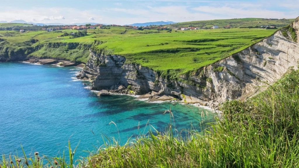
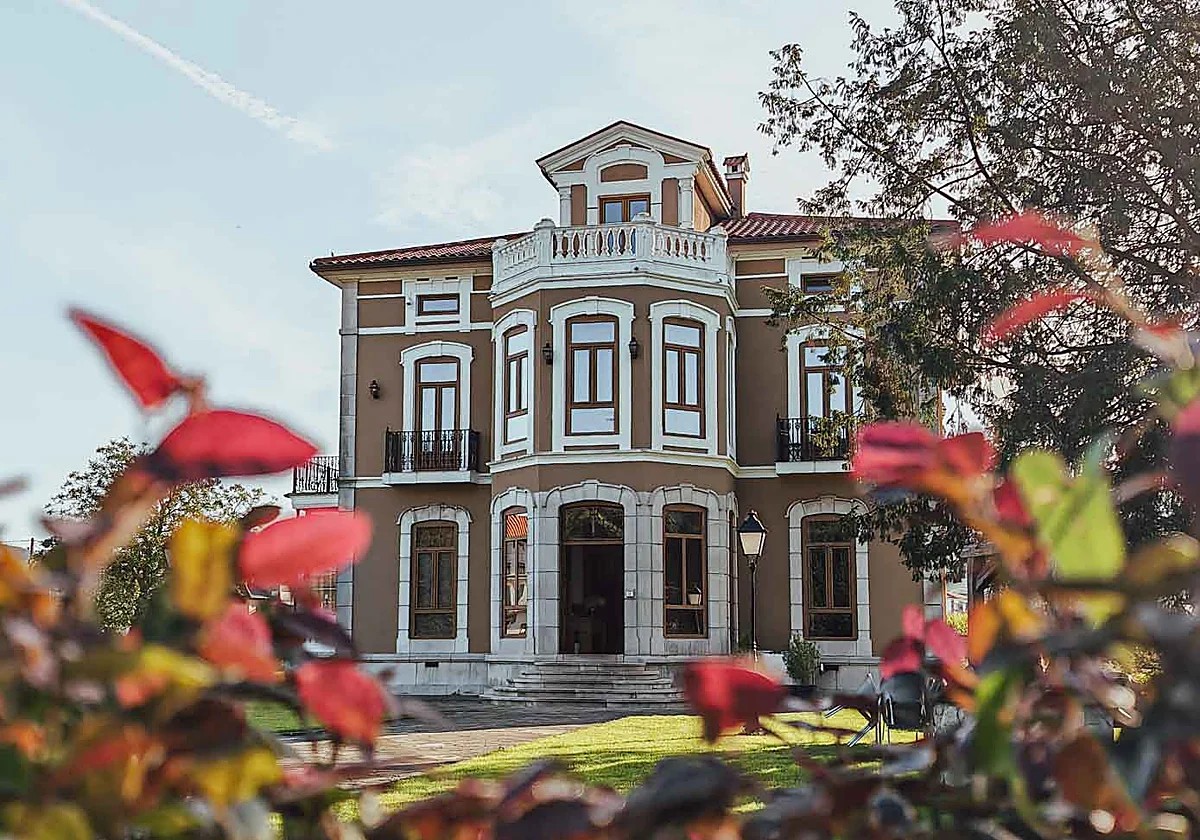
The best running routes by the sea near Bareyo are the Senda del Litoral through the Ecoparque de Trasmiera (11 km), the Cabo de Ajo loop (12 km), the quiet Bareyo-Noja road, the Ruta de la Costa de Noja, and the loop around Monte Buciero from Playa de Berria (10-12 km).
Running with the sea as your backdrop is one of the biggest perks of training in Bareyo. The Trasmiera coast barely gains any elevation even on its toughest stretches, so most runners with an average fitness level can handle most of these routes without too much struggle — though the mixed terrain (asphalt, dirt trail, and the odd flight of steps) calls for shoes with decent grip.

We've picked five routes that start less than twenty minutes' drive from Bareyo Residences, each with a clear landmark so you won't get lost: a lighthouse, a marsh, or a named village at every turn. None of them require a race number or sign-up — just water, sunscreen, and, if you can manage it, avoiding the middle of the day in the height of July. If you liked our guide to hiking routes near Bareyo, think of these five running routes as its faster, less stop-and-go cousin.
Senda del Litoral: from Ajo to Loredo through the Ecoparque de Trasmiera
This is the area's benchmark route: 11 kilometers of trail starting in Ajo that skirt the Ecoparque de Trasmiera all the way to Loredo, crossing marshland, low cliffs, and three beaches — Cuberris, Antuerta, and Ris — before you reach the end. The terrain alternates between hard-packed dirt and wooden boardwalks over the marsh, so you won't need aggressive trail shoes. The most photogenic spot is at the halfway point, by the Faro de Ajo lighthouse and its mural by Okuda San Miguel, where it's worth pausing for a few seconds even if it breaks your rhythm. If you don't want to do the full 11 km, try a shorter there-and-back to the Cuevas de la Ojerada, about 4 km from Ajo.
Cabo de Ajo loop route
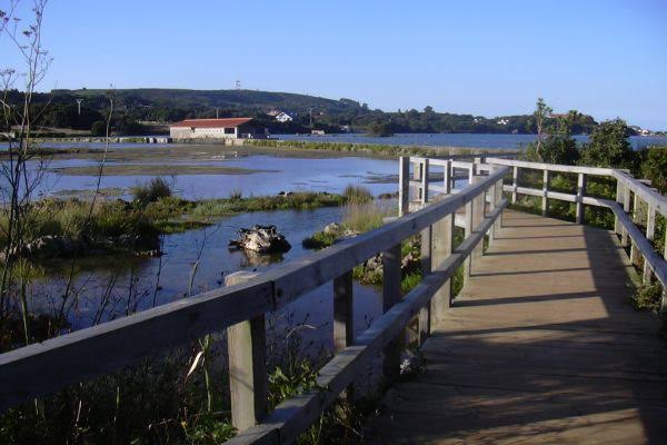
If you'd rather not rely on someone picking you up at the end, the Cabo de Ajo loop solves that problem: 12 kilometers that start and finish at the same spot, the Ayuntamiento de Bareyo square in Ajo. The route first heads inland along rural tracks between Ajo and Galizano, then comes back hugging the cliffside, with the Cantabrian Sea as a constant companion for the final third. It's the same course used every year for the Trail Cabo de Ajo, the municipality's trail race, so the route tends to stay well marked for much of the year, not just on race day.
Bareyo-Noja: the quietest flat route for running
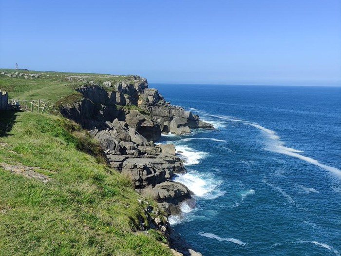
Not every route by the sea has to be on dirt. The local road between Bareyo and Noja sees hardly any traffic at the hours when most people go running, and it opens up onto wide views of the estuary with no meaningful elevation change. It's about 6 kilometers each way — ideal if you want a steady pace without worrying about roots or loose stones, or if you're doing intervals for a specific race.
The Ruta de la Costa de Noja: Blue Trail 2026
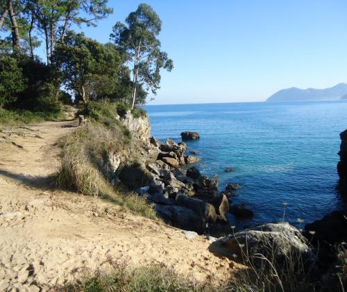
Noja has renewed its Blue Trail designation for 2026 for its Ruta de la Costa, a recognition from the Association for Environmental and Consumer Education (ADEAC) for the trail's upkeep and signage. The route combines wooded stretches with sections that run right along the cliff edge, linking Playa de Ris and Trengandín with more hidden coves to the west. It's a short route, just over 5 km one way, but it packs in more changes of scenery per kilometer than anything else on this list, so it more than makes up for the shorter distance.
The loop around Monte Buciero from Playa de Berria
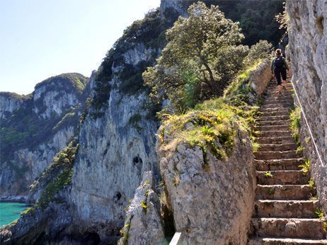
The officially waymarked PR-S 49 trail circles Monte Buciero from the Fuerte de San Martín in Santoña to Playa de Berria, running about 10-12 kilometers depending on the exact path, with a bit more elevation gain than anything else on this list — up to 250-380 meters. It's worth doing for the final stretch alone, where the Faro del Caballo lighthouse looms over the cliff after you climb down (or up, depending on which way you go) around 700 steps cut into the rock. If you're short on time, the out-and-back from Berria to the lighthouse is about 6 km and is reason enough on its own to make the trip from Bareyo.
What you need to know
All of these routes are less than 20 minutes' drive from Bareyo Residences. In July and August, the best time to go is before 10:00 am or after 7:30 pm, when it's cooler and there are fewer people on the stretches shared with walkers. The terrain is mixed — asphalt, hard-packed dirt, and a stretch of steps at Buciero — so light trail shoes work better than pure road shoes. There are no water fountains along most of these routes, so bring your own. Tides don't affect any of these routes since they run along elevated trail, not along the beach.
Eleven kilometers of trail, three beaches, and a lighthouse painted by Okuda — the Senda del Litoral sums up why running is just better with the sea as a witness.
Guests staying at Bareyo Residences have these five routes practically on their doorstep, with no need to even get in the car for the closest ones. It's one of those details that never shows up in villa photos but changes the routine for anyone who packs running shoes: heading out for a morning run with the Cantabrian Sea as your backdrop, instead of on a gym treadmill. Construction on the development is moving ahead, and the first homes will be ready from September 2027, with this same coastline as their backyard.